
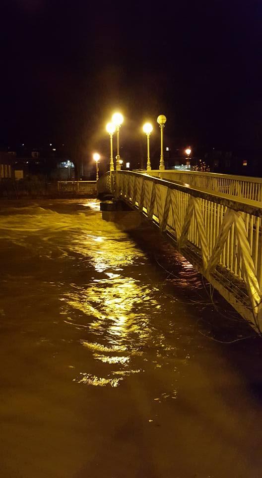
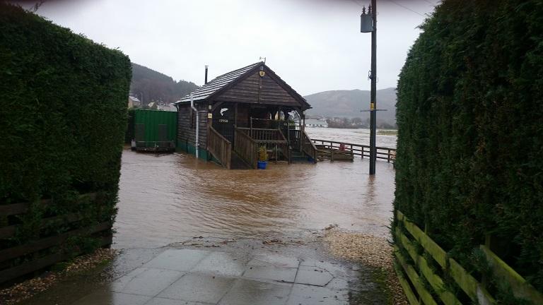
DUE to the forecast of a serious flooding incident in Hawick, Police Scotland led a phased evacuation of properties in the Mansfield area of the town in the early hours of this morning (Saturday).
Residents in other areas of Hawick including Duke Street, Teviot Crescent, Buccleuch Street, Sandbed and the Haugh should prepare to evacuate their houses and should move their vehicles to higher ground now. Businesses should also prepare for the flooding. The situation is likely to get worse during the day and residents may not have much time to prepare when the waters rise.
The Teviotdale Leisure Centre has been opened as a rest centre and residents have been directed there.
This followed SEPA forecasting which predicted that the River Teviot would peak at more than 3.6m, higher than the 2005 flooding event in the town. With further rain forecast throughout Saturday, the river level will remain high.
Police Scotland, Scottish Fire and Rescue Service, Tweed Valley Mountain Rescue and Scottish Borders Council staff are on the ground in the town and are being assisted by Hawick Flood Group volunteers, British Red Cross and Salvation Army staff.
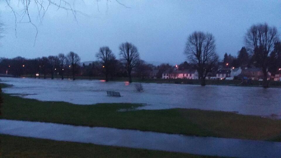
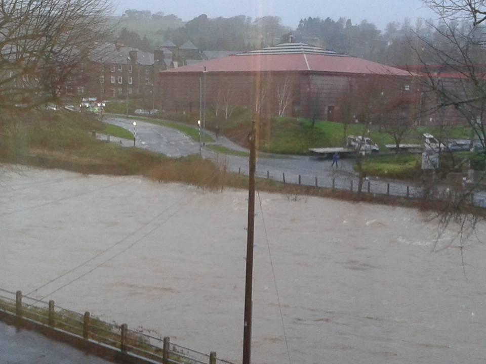
The Council continues to closely monitor the situation in Peebles (pictured below), Newcastleton, Galashiels and Jedburgh, where river levels are high and rising.
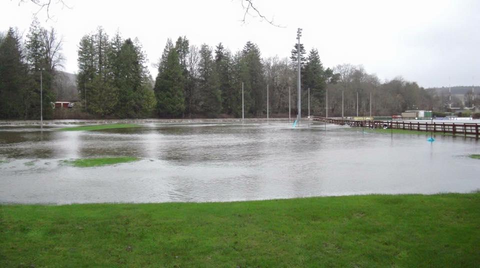
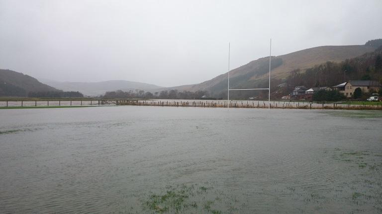
A total of 16 flood warnings are in place across the Scottish Borders.
The Met Office issued an Amber (Be Prepared) warning valid from 2am today until 6am on Sunday 6 December for heavy and persistent rain, with disruption to travel likely as well as flooding to properties and some communities in the Borders.
A total of 60mm to 100mm of rainfall is predicted on already saturated ground, and 150mm to 200mm on higher areas. We are also anticipating winds of around 70mph.
Rain is expected to last through Saturday, before clearing southwards early on Sunday.
Given saturated conditions and high river levels from recent rainfall – further flooding is likely. This is likely to lead to difficult driving conditions.
Members of the public are being advised to take extreme care when out and about over the weekend. You should keep up to date with the latest updates, and if travelling please check conditions, routes and transport providers before you do so. You must ensure you and your vehicle is ready for the winter conditions. Advice on this is available from www.readyscotland.org
Diversions are likely to be implemented on the A7 to avoid the flooding in Hawick. The Community Recycling Centre (CRC) in Mansfield Road is also closed.
Communities in the western Borders are particularly vulnerable from rising river levels. Nearest sandbag stores can be found at all Borders fire stations as well as community groups which have signed up to Resilient Communities. A list of sandbag stores is also available at www.scotborders.gov.uk/sandbag_stores
High winds were experienced through Friday evening so you must be aware of debris.
Members of the public are asked to identify family members or neighbours who may need an extra helping hand during this weekend’s weather, and have their phone numbers to hand.
The Council’s emergency planning bunker has been opened and a multi-agency team, including the emergency services, is in place to co-ordinate the response.
Jim Fraser, SBC’s Emergency Planning Officer, said: “The situation in Hawick developed overnight, but given the potential impact of the rising river levels it was imperative that residents were evacuated as early as possible, and they are now being looked after within the rest centre.
“The Met Office is advising that the Borders will be on the end of very heavy and persistent rainfall throughout today and there is the potential for significant disruption across the region and river levels will continue to rise.
“This will present very challenging conditions and members of the public are strongly advised to prepare for this and take the necessary action where they can.
“The Council’s website and social media channels will be kept up to date with the most up to date information over the course of the weekend.”
SEND US YOUR PHOTOGRAPHS BY EMAILING: EDITORIAL@BORDERTELEGRAPH.COM OR FIND US ON FACEBOOK


Comments: Our rules
We want our comments to be a lively and valuable part of our community - a place where readers can debate and engage with the most important local issues. The ability to comment on our stories is a privilege, not a right, however, and that privilege may be withdrawn if it is abused or misused.
Please report any comments that break our rules.
Read the rules hereComments are closed on this article